
Sach Pass from Dalhousie or Chamba: a 2-day excursion via Bairagarh
The top of the pass and back, done safely: an afternoon drive to Bairagarh, up to Sach Pass at first light, and down to Chamba or Dalhousie by evening.
- Short trip
- Taxi
The trip
- Duration
- 2 days · 1 night
- Difficulty
- Easy
- Best months
- June to early October (best: September)
- Starts / ends
- Dalhousie or Chamba → Chamba or Dalhousie
- Highest point
- Sach Pass, about 4,414 m
- Price
- Quoted on WhatsApp
People staying in Dalhousie often ask for Sach Pass in a day. We don't plan it: it's about 330 km there and back, the hardest driving falls at midday when the streams are high, and the drive home ends in the dark. This is the way we'd do it instead.
Drive up to Bairagarh in the afternoon on the paved road and sleep at the foot of the climb. At first light, go up the 30 km to the top while the streams are low, spend time there, and come down for lunch. You're back in Chamba by late afternoon and Dalhousie by early evening.
Difficulty: By SUV with a driver; a short stop at about 4,414 m. A long second day in the car.
Highlights
- The top of Sach Pass in the clear morning light
- No driving on the unpaved road after midday
- Satrundi and the snow walls on the way up, in season
- A night in Bairagarh at Hotel Diwan Sachpass
- Pick-up and drop at your Dalhousie or Chamba hotel
Who it suits
- Families staying in Dalhousie or Chamba
- Travellers with only two days
- Anyone who wants the top without crossing into Pangi
Day by day
Day 1
Dalhousie or Chamba to Bairagarh
About 90 km from Chamba, about 135–145 km from Dalhousie · Bairagarh (Hotel Diwan Sachpass)Dalhousie → Chamba → Tissa → Bairagarh
Pick-up in the morning. An unhurried drive up the Churah valley on the paved road, arriving in Bairagarh in daylight. Dinner, a short walk, and an early night.
- Distance
- About 90 km from Chamba, about 135–145 km from Dalhousie
- Time on the road
- 4–5 hours from Chamba, 6–7 hours from Dalhousie
- Altitude
- Bairagarh ~2,800 m
- Overnight
- Bairagarh (Hotel Diwan Sachpass)
Stops: Chamba · Tissa
On the road: Paved and winding. Buses on the bends.
Day 2
Sach Pass at first light, then back down
About 60 km up and back, then about 90 km to Chamba (about 135–145 km to Dalhousie) · Trip ends in Chamba or DalhousieBairagarh → Satrundi → Sach Pass → Bairagarh → Chamba → Dalhousie
Leave Bairagarh at dawn and climb the 30 km of rock and streams to the top, at about 4,414 m. Stay as long as the cold allows, then come down while the streams are still low. Lunch in Bairagarh, then the paved road home.
- Distance
- About 60 km up and back, then about 90 km to Chamba (about 135–145 km to Dalhousie)
- Time on the road
- 5–6 hours up and back, then 3–4 hours to Chamba
- Altitude
- Satrundi ~3,400 m · Sach Pass ~4,414 m
- Overnight
- Trip ends in Chamba or Dalhousie
Stops: Satrundi · The temple at the top · Lunch in Bairagarh
On the road: Unpaved above Bairagarh, with stream crossings; you're off it by early afternoon.
The route at a glance
- Pick-upDalhousieOr Chamba
- 0 kmChamba~1,000 m
- 90 kmBairagarh~2,800 mOne night
- 106 kmSatrundi~3,400 m
- 120 kmSach Pass~4,414 mTurn round here
What's included
Included
- A high-clearance SUV with a local driver for both days
- Fuel, parking and the driver's costs
- One night at Hotel Diwan Sachpass, Bairagarh, with dinner and breakfast
- Pick-up and drop at your hotel in Dalhousie or Chamba
Not included
- Lunches and snacks
- Personal spending
- An extra night if the road is closed
- Travel insurance
The car
- A high-clearance SUV such as an Innova Crysta or Scorpio
- Up to six passengers
No prices on this site: we quote for your dates and group on WhatsApp, and nothing is paid here.
Before you go
Road, season and permit notes last checked . For today's report, see is Sach Pass open?
Permits and documents
- No permit for Indian travellers, as of November 2026. Carry photo ID.
- If the administration has restricted the road (for example to small 4×4s after snow), we tell you before you set off and offer another day or a 4×4.
Safety and acclimatisation
- You sleep at about 2,800 m and spend a short time at the top. Tell us about any heart or lung condition, pregnancy or infants in the group.
- The top is cold and windy even in summer: dress for it.
- We turn back if the weather or the road is bad. Safety first, photos second.
Road conditions
- Bairagarh to the top: about 30 km unpaved, usually 2–3 hours each way.
- Snow walls near the top in June; September is usually the driest month.
What to pack
- A warm jacket, hat and gloves
- Shoes with grip for snow
- Sunglasses and sunscreen
- Water and snacks
- Motion-sickness tablets if anyone needs them
Photos
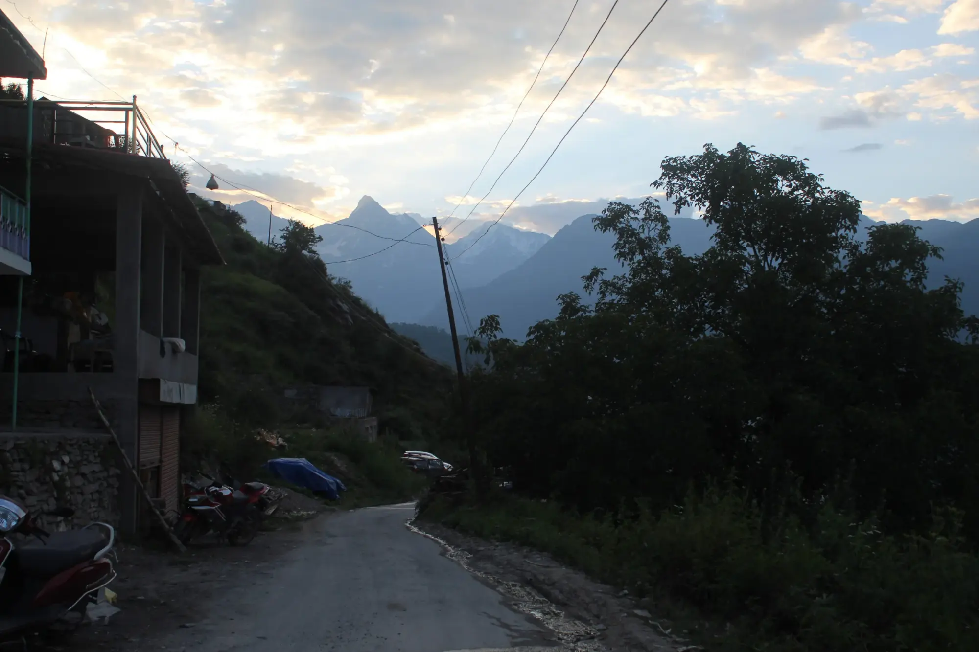
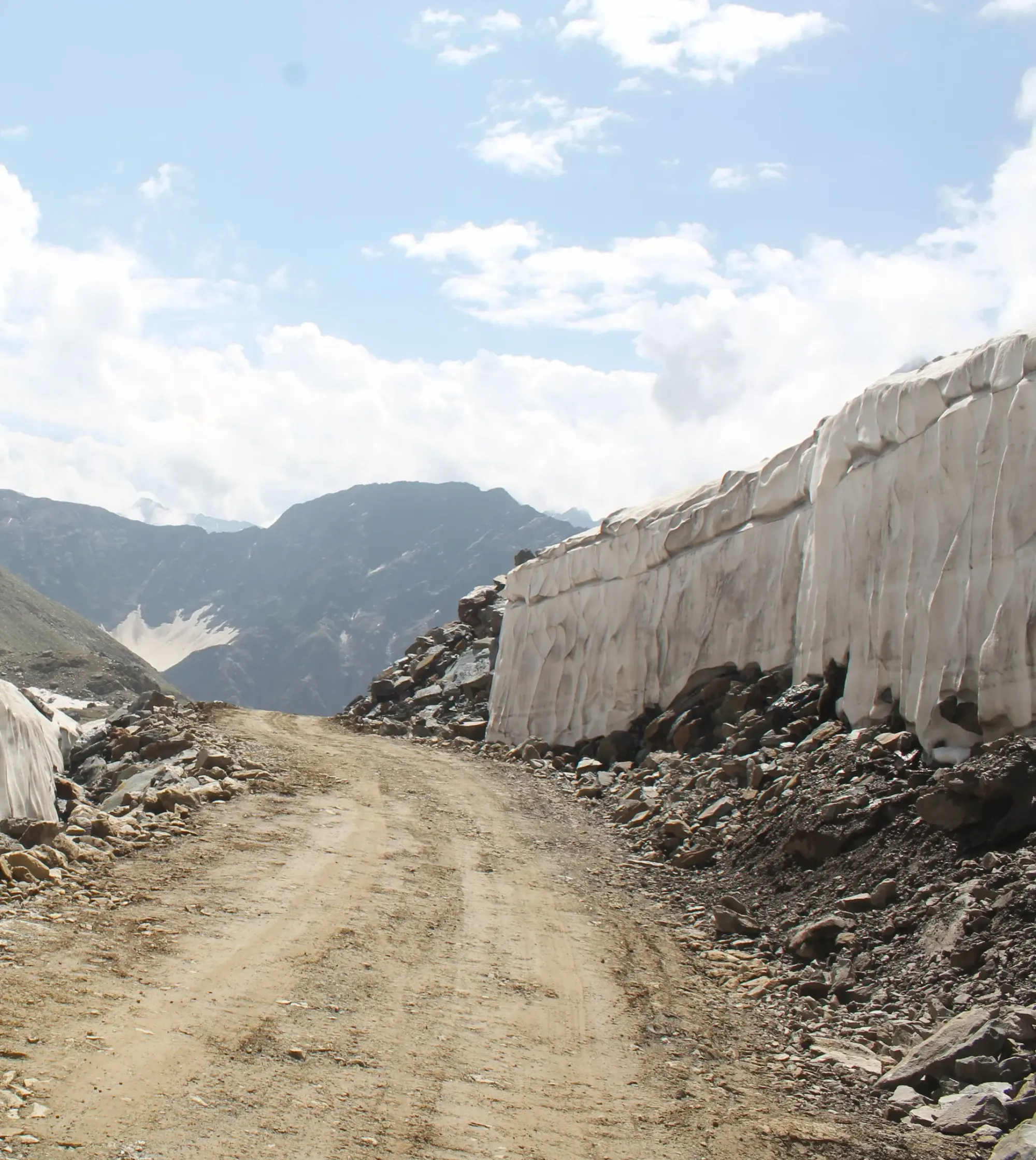
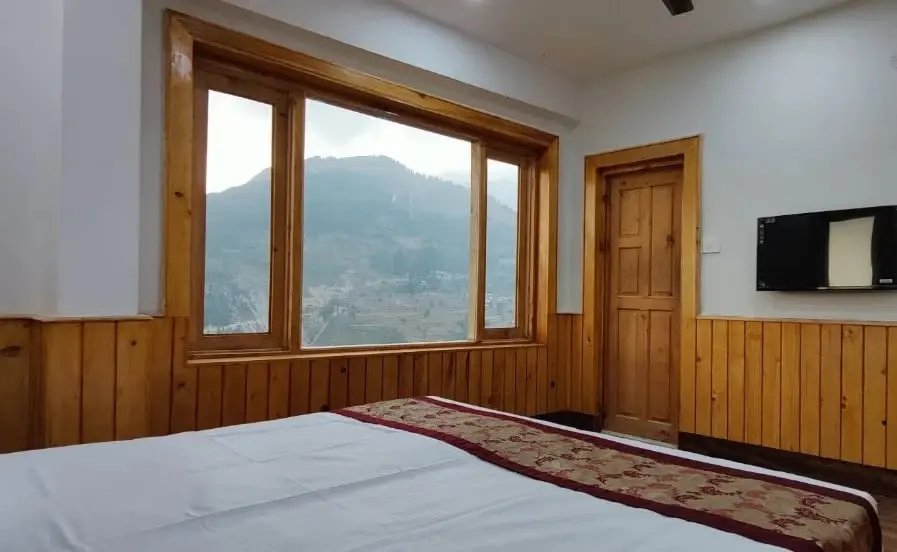
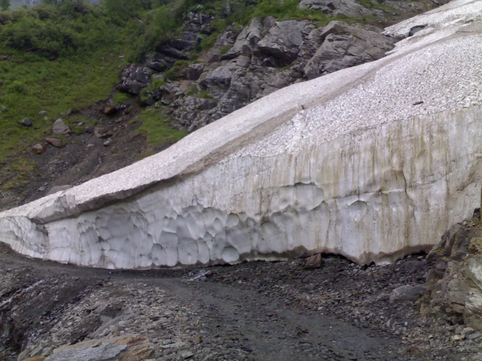
Photos show the road and the kind of trip. Not every photo is from this exact route.
Sach Pass Excursion from Chamba & Dalhousie: quick answers
Can I do Sach Pass as a day trip from Dalhousie?
We advise against it. It's about 330 km there and back on mountain roads, the descent falls when the streams are highest, and you'd be driving home in the dark. A night in Bairagarh makes the same trip safe and much more enjoyable.
How far is Sach Pass from Chamba?
About 120 km: 90 km of mostly paved road to Bairagarh, then 30 km of rough road to the top.
Is the excursion OK for children?
Usually yes, as no one walks far and you're only briefly at the top. Dress them warmly, and tell us if anyone has a heart or lung condition.
Will there be snow?
In June there are often walls of snow near the top. By September most of it has gone from the road, though there's usually some on the slopes.
Can we carry on to Killar instead of coming back?
Yes. Our taxi package crosses to Killar in Pangi and back over five days.
Sources
- Sach Pass in July: itinerary and road conditions (distances Chamba–Bairagarh–top), Discover with Dheeraj (updated 2026) (opens in a new tab)
- Chamba: how to reach, Himachal Tourism (official website) (opens in a new tab)
- After seven-month freeze, Sach Pass opens to traffic, The Tribune (11 May 2026) (opens in a new tab)
Things that change, and what we couldn't confirm
- Dalhousie to Chamba is about 45–55 km, depending on the route. The Dalhousie figures here add that to Chamba–Bairagarh.
- Drive times are our estimates with stops.
Photo credits
- “Mata mandir” by Aditya00010, Wikimedia Commons (file (opens in a new tab), CC BY-SA 4.0), resized and converted to WebP.
- “Glaciers at Satrundi” by Anshuzsnowy7, Wikimedia Commons (file (opens in a new tab), CC BY-SA 3.0), resized and converted to WebP.
Other photos on this page: Himalayan Brothers.
Read before you go
Sach Pass complete guideHow to reach Sach Pass from Delhi, Chandigarh, Pathankot, Manali or Dharamshala
Sach Pass itineraries: 3, 5 and 7 days from Chamba


Where you stay: Bairagarh
All staysHotel Diwan Sachpass
From public listings Hotel Mannat Sach Pass
Source: Google Maps (opens in a new tab)
From public listings From public listings

Related Sach Pass trips
All packagesSach Pass Taxi Package
Sit back in a high-clearance SUV with a driver who knows the road: Chamba, a night in Bairagarh, over the top to Killar and back.
- Taxi
Sach Pass Camping & Stargazing
A night in Bairagarh to adjust, then a seasonal camp near Satrundi, about 3,400 m up, for dark skies, and the top of the pass at sunrise.
- Camping
- Short trip
Sach Pass Photography Tour
Six days paced for the light: Chamba's stone temples, dawn at the top of the pass, Pangi's overhangs and the Chenab, with a driver who stops when you say.
- Photography
- Circuit


